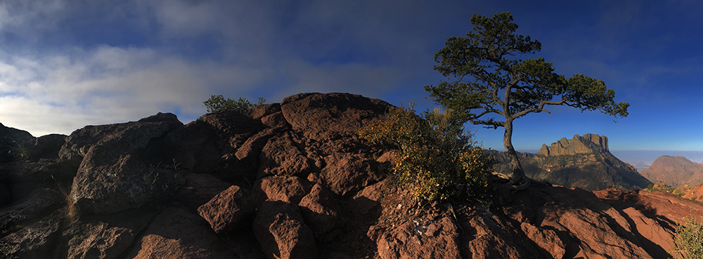
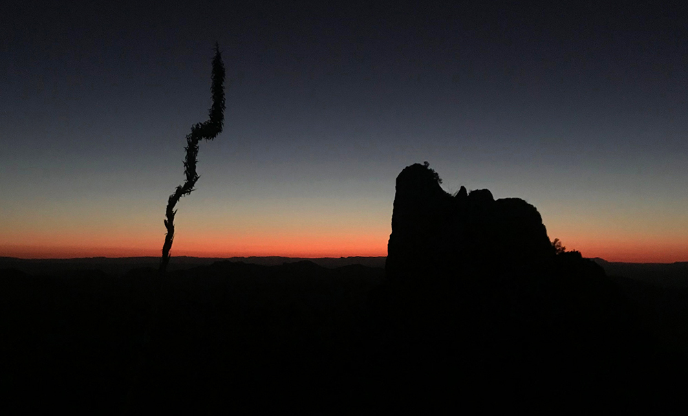
Desolate, rugged and definitely remote, Big Bend National Park holds a surprisingly diverse ecosystem and enjoys a label as one of the least visited national parks.
It’s no wonder. It is unlikely that the casual traveler would ever navigate this part of west Texas. Unless of course, that traveler was a Park Junkie…
Guide to Big Bend
Big Bend National Park
Big Bend stands proud as the premier preserve of the Chihuahuan Desert, lying on the northern banks of the Rio Grande as the river makes a long northward loop, or a “big bend”, on its course toward the Gulf of Mexico.
The park protects three distinctly different landscapes. Here one will find vegetated riparian zones along the banks of the Rio Grande as it flows eastward from Santa Elena Canyon, while a stark, arid desert landscape stretches northward circling an ancient rising caldera capped by the 7,825′ Emory Peak of the beautifully forested Chisos Mountains.

Within this varying landscape exists an abundant array of flora and fauna. More species of birds, bats and cactuses have been found in Big Bend than in any other national park. Combine this with an assembly of mountain lions and black bears wondering through forests of oak, fir, aspen and pine, and casual visitors may be hard-pressed to name any area of greater ecological diversity on earth, let alone in west Texas.
Exploring Big Bend
Big Bend National Park is large at just over 801,000 acres, so travel between park attractions will take substantial time. More than a few of the park roads are unpaved and require high clearance four wheel drive. Such primitive passageways provide access to the definition of the “middle-of-nowhere”.
Most visitors stick to the pavement, which still allows more than 100 miles of scenic drive time. The park’s most popular areas are listed below, most of which can be accessed by along these paved roadways.

Chisos Basin
Perhaps the most scenic area in the park, the Chisos Mountain Basin should be a must-do on your list of places to visit in Big Bend. This area of the park lies within the caldera of a long extinct volcano which last erupted somewhere around 40 million years ago.
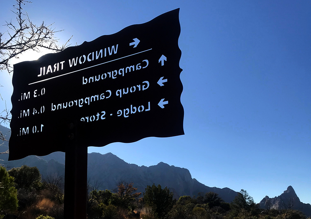
The Chisos Basin is home to the park’s only lodging and dining options, as well as an incredibly scenic campground, a small store and a year round visitor center with wifi. The park’s most accessible system of trails is located here, and miles of enjoyment can be obtained right out of the Visitor Center steps with a quick jaunt up the Emory Peak trail.
Driving to the basin requires a few tight turns and RVs longer than 24′ are not recommended.
Rio Grande Village
At the southeastern corner of the park, visitors find the Rio Grande Village. This remote village has a campground and an RV park, a small store and a seasonal visitor center with wifi. Its location on the shore of the Rio Grande makes it a unique spot in the park for flora & fauna.
This is a common staging ground for guests seeking to travel westward on the River Road, a primitive 4×4 road that winds along the northern shore of the Rio. Many guests here also visit the nearby Hot Springs Historic District and the Daniels Farm House, one of the few remaining vestiges of the area’s pioneer farming days.
Boquillas
Just to the east of Rio Grande Village is the international river port of entry at Boquillas, two miles further to the east, a stunning canyon that lies carved deep into the Sierra del Carmen Mountains, which span the border, running north/south between Mexico and the US.
The small Mexican village of Boquillas lies on the southern banks of the Rio, and is home to a small population who rely partially on income provided by the sale of small handicrafts, textiles and art, as well as food and drink, to tourists who cross the border from Big Bend. Most visitors who cross the border will do so in a small rowboat, which is operated by a Mexican chauffeur for a minimal fee.
Most visitors who cross the border will find their way to one of a couple of local restaurants. Jose Falcon’s provides a fine choice for a bite to eat and a drink on a beautifully decorated patio overlooking the Rio. The Boquillas Restaurant is located directly across the street, and offers a fine selection as well.
The border crossing involves an official Port of Entry crossing and a passport, or passport card for US and Canadian citizens, is required. For those wishing to spend the night in Mexico, an application for a temporary visa must be filed. See the NPS Boquillas Page for more information on visiting our southern neighbors for what will be an incredible time and an unforgettable experience. The border crossing is closed on Tuesdays.
To the east of Boquillas lies the deep and mysterious Boquillas Canyon. A short trail leads to an overlook which provides a glimpse into the canyon. Atop the mesa however, the Marufo Vega Trail runs along the top of the mesa and showcases the intermountain areas of the Sierra del Carmen.
Santa Elena Canyon
To the western side of the park lies another deep canyon, also patiently carved by the Rio Grande. The Santa Elena Canyon is easily accessed by the Ross Maxwell Scenic Drive, which leads right to the mouth of the canyon, where it spills flowing water into the lowlands of the Chihuahuan Desert.
A short trail leads into the canyon, providing an excellent vantage from which visitors can witness firsthand the power of water and time. The walls of Santa Elena tower above the flowing water below, which continues to cut into the Earth as the centuries pass.
A small picnic area and restrooms are located in the parking lot. Adventurous visitors can spend a little time fishing on the banks of the Rio with a free permit from the Castolon Visitor Center, just a few miles to the east on the Ross Maxwell Drive. Even more adventurous folks will want to secure a free permit to float their kayak onto the Rio, and paddle upstream for a nice relaxing float back down.
Grapevine Hills
Another interesting area in Big Bend is the Grapevine Hills. Located at the end of an 8 mile dirt road which spurs to the north just 3 miles west of Panther Junction, this area features a jumble of really cool rocks that include the famous Balanced Rock.
The rocks in this part of the park form what geologists refer to as a laccolith. These intrusive rocks are formed when magma is injected between layers of rock. Usually, the massive pressure injected into the space forces the overlying rocks upward, which produces the classic mushroom shape of the laccolith.
There are a number of primitive campsites along the road, and the short Balanced Rock trail is a popular option that should not be missed by anyone enjoying fabulous desert scenery. Feel free to climb about on the rocks, as there are a great number of stunning views that cannot be found elsewhere. Be aware, the area is home to a great number of snakes, but most of them will certainly warn you if you pose a threat.
What to do in Big Bend
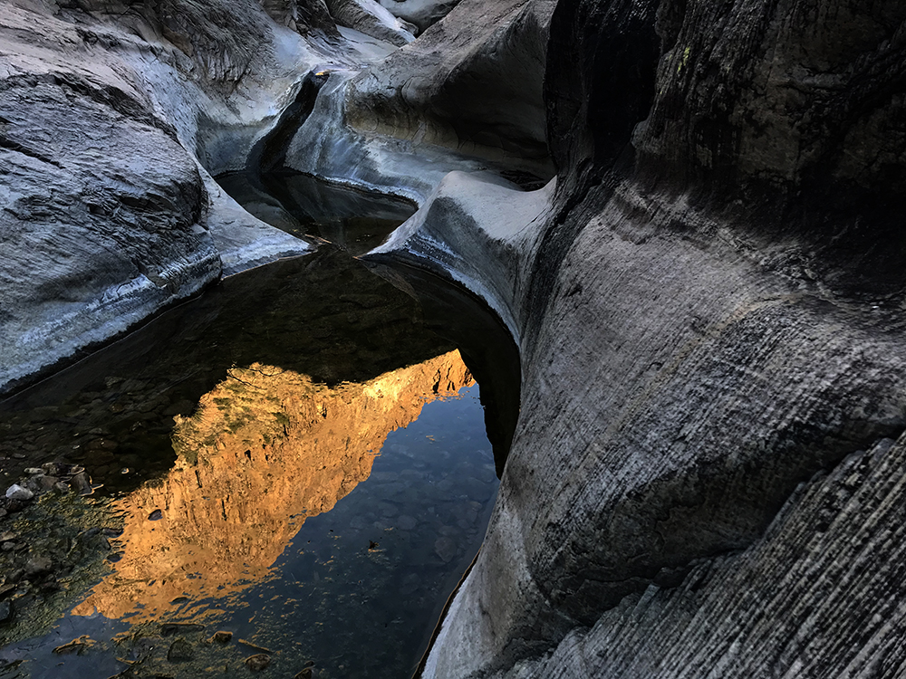
Activities in the park are abundant and Big Bend holds more than 150 miles of hiking trails. The Chisos Mountains providing the most complex network of trails in the park, while lowland trails exist that usher the curious visitor into desert canyons with flowing water and through sparsely vegetated areas that define the Chihuahuan Desert.
So if desert hiking and backcountry camping is your thing, there are limitless opportunities for cross country travel with a $10 per night backcountry use permit.
A few miles on these routes and you may return to the outside world a changed soul, as most mere mortals are not as bold as you. Take a lot of water & have a blast… We’ll see you folks back at the bar at Terlingua’s Starlight Theatre and you can tell us all about your adventure…

River rafting and kayaking on some 118 miles of the Rio Grande River offers passage through the deep gorges of Santa Elena and Boquillas Canyons, where spectacular scenery few expect to find in the unknown recesses of a Texas desert unfolds before the eye.
Options here vary, as downriver float trips can be arranged, and for the simple day trip, an upstream paddle in a kayak with a downstream retreat in Santa Elena can be a treat. Local outfitters offer services too, see the activities page here at Park Junkie for links.
More than 300 miles of roadway exist within the park and many of these are unpaved, providing a haven for 4×4 folk, as well as mountain bikers who don’t mind riding double track jeep roads. Single track mountain biking does not yet exist in Big Bend, but there is challenging single track riding just outside the park in Big Bend Ranch State Park, near Lajitas.
History of Big Bend
The park was first envisioned by local rancher Everett Townsend after he “saw God” during a search for a pack of stolen mules in the Chisos Mountains in the early 1900s. Townsend became enamered with the idea of protecting the area and eventually became involved in the political process, elected to the state legislature in the 1932.
“I wish you would take a map of the State showing the counties, put your pencil point on the Rio Grande, just where the Brewster and Presidio County line hit that stream; then draw a line due East and a distance of sixty miles it will again strike the River. My dream is to make the area south of this line into a park and I shall live to see it done.”
Everett Townsend, 1933
The following year, he co-authored a bill to create Texas Canyons State Park, which later that year was expanded in size and renamed Big Bend State Park. Eleven years later, in 1944, Townsend’s dream was fully realized with Congressional approval for Big Bend National Park. The park’s second highest peak today bears the name, Townsend Point in honor of the father of the park.

Park Junkie Verdict
This is one of my favorite parks. In all of my park travels, I have found no landscape quite like that of Big Bend, anywhere. The variety of scenery coordinates perfectly to offer vastly different options for activities from day to day.
The Chisos Mountains are nothing less than enchanting, and hiking through their forested slopes provides a unique mountain experience on lightly traveled trails. The desert flora and fauna combine to reveal a land that will surprise you when you least expect it, and the opportunity to run a river through an area that could easily be mistaken for the Grand Canyon makes Big Bend an unforgettable destination.
Big Bend National Park is one of those parks to which you’ll be planning a return trip. But first, you just have to go…
See ya there…
Guide to Big Bend
Relevant Links
Terlingua Nights Cabins – Big Bend Guide
National Park Guides

All content found on Park Junkie is meant solely for entertainment purposes and is the copyrighted property of Park Junkie Productions. Unauthorized reproduction is prohibited without the express written consent of Park Junkie Productions.
YOU CAN DIE. Activities pursued within National Park boundaries hold inherent dangers. You are solely responsible for your safety in the outdoors. Park Junkie accepts no responsibility for actions that result in inconveniences, injury or death.
This site is not affiliated with the National Park Service, or any particular park.
